How I look for tasty and productive places in a plowed field
End of June. In the forest there is unbearable heat and hordes of blood-sucking insects. In the meadows the grass has not yet been mowed, and in the tracts there are weeds half the height of a man. For the suffering lover of instrument search, there is only one type of cop left. Plowed fields. You can, of course, go and dig, but in our area there are few such places, and those that exist are either already used up or empty as a holey felt boot. So fields, fields and more fields. Especially if a breeze blows, and feather clouds float across the sky, periodically covering them with shadow from the hot sun.
But, as any digger with even minimal experience knows, not all fields are equally interesting, productive and therefore worthy of attention. I have already written about how to choose swag fields for digging in a number of posts on our blog, for example, if you are interested and have not read it yet, you can follow the link.
How to choose a plowed field for a productive cop? Practical advice
Содержание статьи:
We read the field like a map. A visual aid to exploring new places
How and where to look for places to cop. All stages of personal experience
Today I want to talk about my experiences in searching for specific points in plowed fields. Such places were never shown on ancient maps and can only be found by walking a couple of tens of kilometers across plowed endless fields.
Repetition is the mother of learning. Therefore, to begin with, some tips from previous notes.
Why did I choose this particular field to explore new places?
According to the five-point system for assessing prospects, the field had a solid three. The field is located next to the village. I don’t give a damn about this in the past, according to the maps the Catherine’s Highway passed through. Well, in the past, when I explored this field, I came across interesting finds. For example, a bronze arrowhead.
What exactly was I looking for there, or wanted to find?
Approximately 80% of this field had already been explored earlier and what I was looking for there could not be found. Oh, I was looking for single-yards, settlements or apiaries there. In the old days, there were many such buildings along the outskirts of busy roads. Then, as now, a good and high-quality road was the main reason to build settlements in this particular place. So, I continue to hope to find a single-yard plant in this field.
How do you understand that you have found a one-yard plant in a plowed area?
First of all, in terms of ceramics and the number of crosses. I remember the first time I found a village with three yards. I didn’t have much experience then, so when I dug up the tenth cross in a row. He got scared, thinking that this was an old cemetery. It was later, in the end, that knowledgeable people suggested that in the Orthodox tradition, the deceased were buried exclusively with wooden crosses. And, in that very place, in the end, among other things, about fifty crosses and fragments of crosses were recovered. And, also, you need to understand that a thick stain of ceramics on a plowed field is not always a sign that there was once a settlement there. Very often, a dense accumulation of ceramics on a plowed field is the result of fertilizing this very field with manure from a collective farm. So try to understand this.
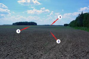
Actions are clearly visible in the area.
First. These are karki. Parts of the fields are overgrown with small or already perennial growths of flora. I have one comrade who, when entering an unfamiliar field, first of all runs to comb the area around the pits. He has his own logic. Karki are areas of the field unsuitable for agricultural work, therefore, during the harvesting period, peasants set up field camps there. There, or nearby. I will say right away that from personal experience I am convinced that this tactic works on average one in ten, and maybe more. But, nevertheless it works. At this point, all the high mounds and areas around the pits were explored and tested three years ago. It's empty, and there's nothing to do at all.
Second. A forest belt along which a reclamation canal runs. That is, draining the field. Just fifty years ago these were wetlands where no activity was carried out at all. But, local roads ran along the borders of these swampy places and agricultural fields. Therefore, it is precisely the border between marshy lands and fertile fields that may turn out to be interesting in terms of losses.
Third. At the other end of the field, an overgrown stream runs like the border. On old maps it is designated as a river, but, in fact, it is, of course, a stream. However, during the Middle Ages, when this field was a dense and noisy forest. The ecosystem of this area was a little different. There is more moisture and groundwater, which means that even the smallest stream now, then could be a very decent forest stream. What does it mean? This means the place may be promising.
Solution for a cop.
Having collected all these thoughts, I decided to finish off this field by thoroughly checking the last unexplored areas. I show what came out of this in the format of a photo report.

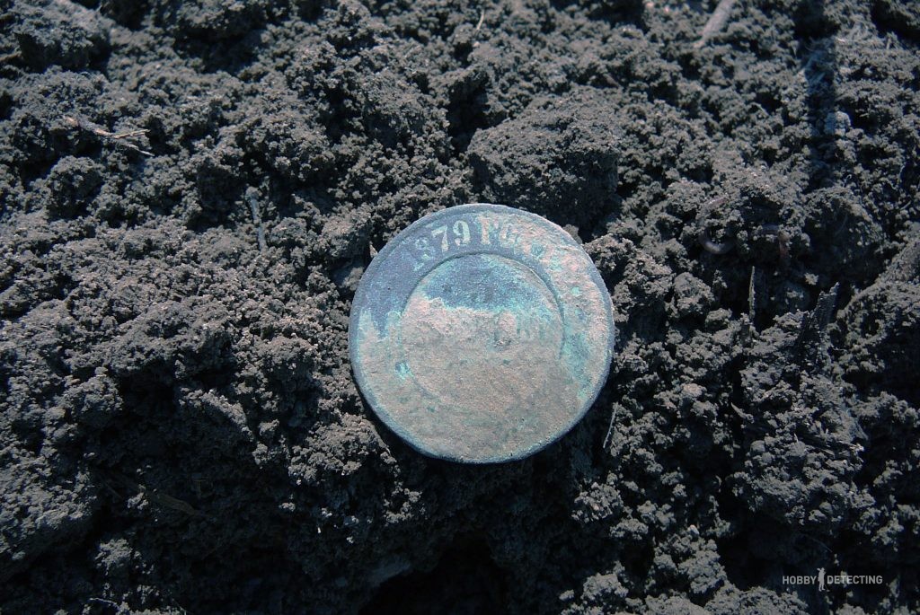
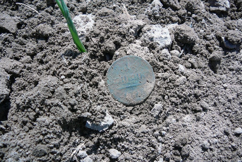
The first find was “cabbage”, two kopecks. There is nothing unusual here; most likely, this coin was “gifted” to the earth spirit on sowing day.

Well, I love fillings for the history they can carry. For example, there was a certain business man named Maud. And, he thought, he would leave his enterprise to his sons. And then the Bolsheviks came.
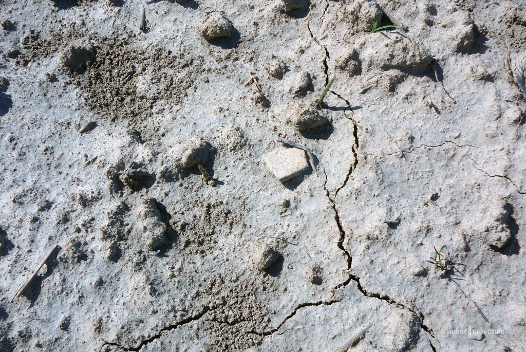
Ceramics are a clear sign that there may be a settlement somewhere nearby

Ah, lacquered ceramics, this is not what I was looking for. This is the end of the 19th mid-20th century.
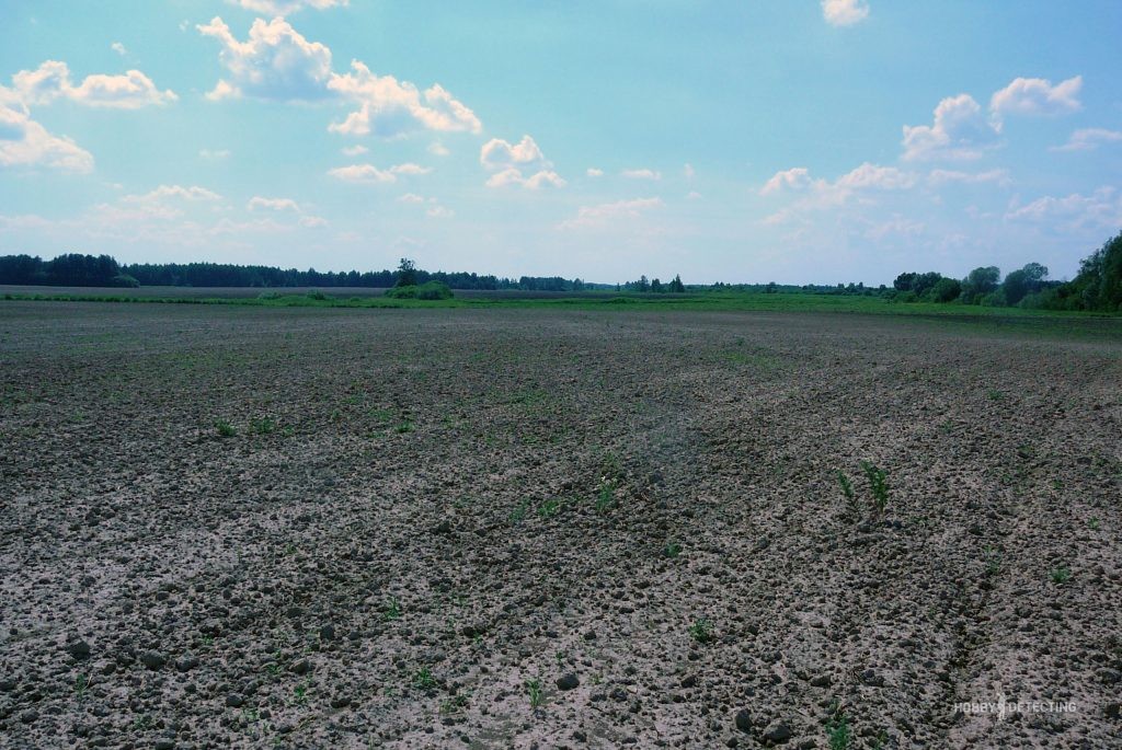
Having reached the intended river, I discovered a small hill on the bank, and decided to walk there. All other finds are from that place

Silver bead. a good sign if you are looking for a medieval village. Unfortunately, this find remained just a sign.
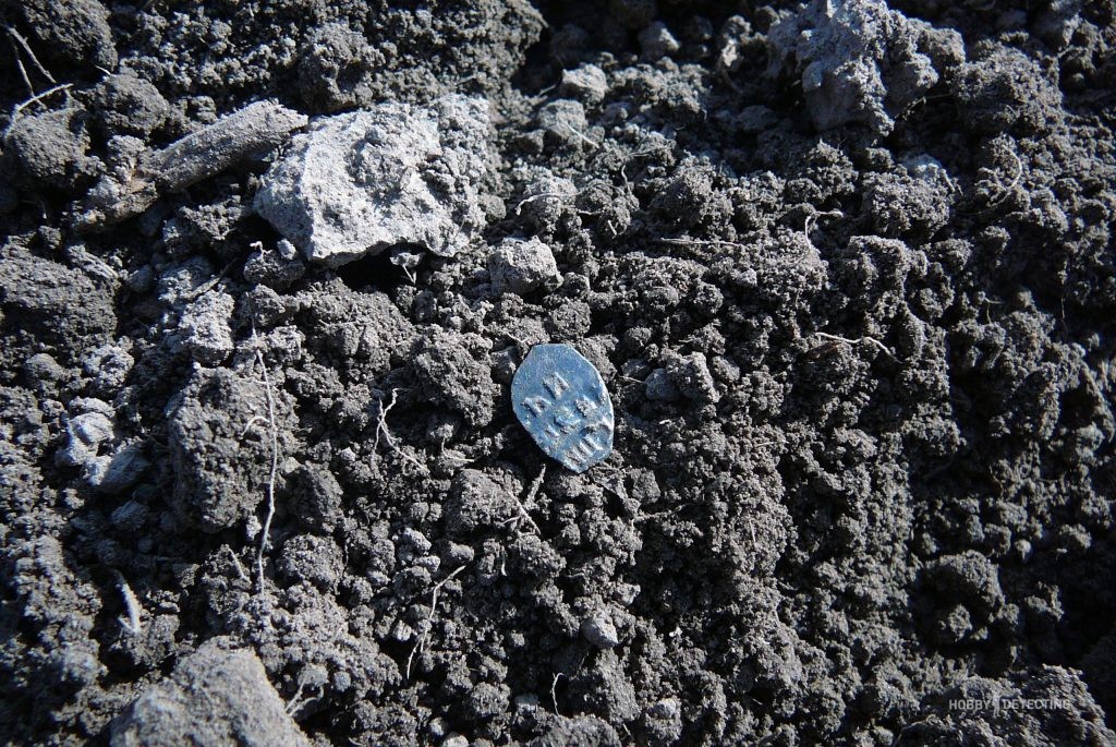
Lice of Peter the Great


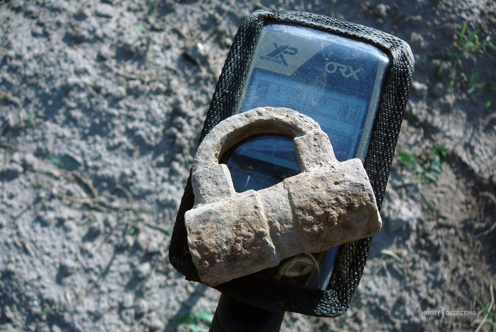
English manufactory castle 18-19 century

In principle, the field turned out to be empty, but that same hillock can be scratched more than once in search of good finds.
