
How are archaeological and cultural monuments marked in Estonia? You can't dig there, it's clearly visible!
There is a constant misunderstanding between archaeologists and diggers, and the reason for this, friends, would seem to be very simple – lack of communication between people. Some consider others “grave diggers and corpse eaters,” while others consider them “grabbers and looters.” In fact, if the parties were more supportive of mutual communication, then many problems could be avoided.
One of the problems is the inability to determine the location of the archaeological site. In Estonia, this problem was solved quite simply – by creating a unified database of maps and cartographic material, and maps with monuments and protective zones are one of hundreds of maps on the Land Department portal.
It would seem that within the boundaries of the settlement there is a beautiful place for residents and guests of the city to relax. In this place, people like to sunbathe in the summer, relax, and cook in the open air, as it looks like on a regular satellite image:
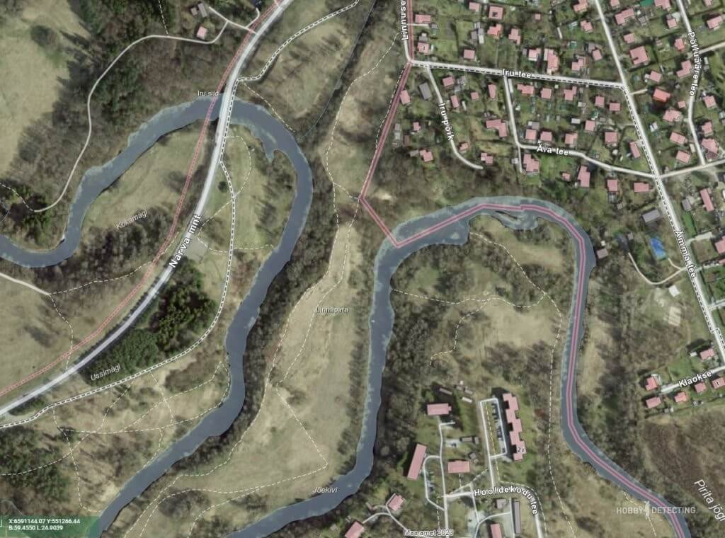
River, river beaches, recreation areas. What could be bad there, you have to run through it with a metal detector – that’s what every digger who wants to collect jewelry and other lost things will think. But no, it's not that simple. Having a map of archaeological sites we see the following picture:

Suddenly? And you were going to dig there, friends! Yes, an ancient settlement, second millennium BC. And next to the ancient settlement (above) there is an ancient settlement of the 13th-8th century BC. And you can’t dig there, yes, absolutely. Thus, we know the boundaries of what is permitted and in order not to get a real criminal case, all diggers must adhere to a simple rule – do not dig in protected zones!
Let's now look at another map, a historical one.
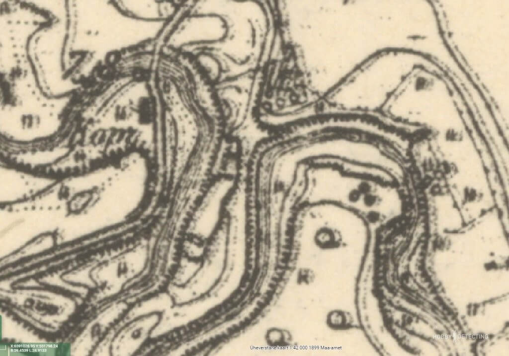
Single layout map, late 19th century. The same place as we see, friends, and what is there? An old tavern right next to the bridge and the road, an ideal place to walk around with a metal detector. Having a map of archaeological sites, we can look for coins near the tavern, but not go into prohibited places.

Map from 1946, immediately after the war. Then the place will change, the road and bridge will change their location, but the archaeological monuments will remain in the same places.
What’s interesting is that it’s not clear on any of the maps whether there is an archaeological site here or not? In addition to the maps, archaeological sites have a plaque installed at the site of the monument, but the plaque does not contain information about the location and size of the protected zone.
Hence the simple conclusion – without knowing the boundaries and territories of the protected zone, all diggers, and even archaeologists, do not know where the protected object is located and where it ends.