
Over the past centuries, the world map, cities, villages and even rivers have managed to change their location more than once. We didn’t know? Try to find the first Ryazan (Old Ryazan), other ancient cities! And trade routes — Do you think that in the 12th century people lived without connection with the world? Alas, everything was not so and much more prosaic — trade went all over the (known) world. And it is not surprising that among the Viking treasures on the shores of the northern Baltic, shells from the Indian Sea are also found, which were also used as a means of payment!
Recently, one of these ancient researchers made an interactive map of ancient trade routes, which you can open by clicking on the picture below:
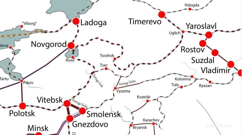 In general, this map shows how the caravans of traders moved at that time, traveling by sea and land, which means we need to dig in these places. Where merchants have walked for thousands of years, it is impossible to get everything out in 20-30 years.
No worries, friends!