
About two weeks ago, I met a fellow digger in a field plowed to fallow. We had a heartfelt conversation, why not talk to a good person? We discussed how happy everyone was with their MD, what good things they had managed to dig up lately, and other Kopar stories…
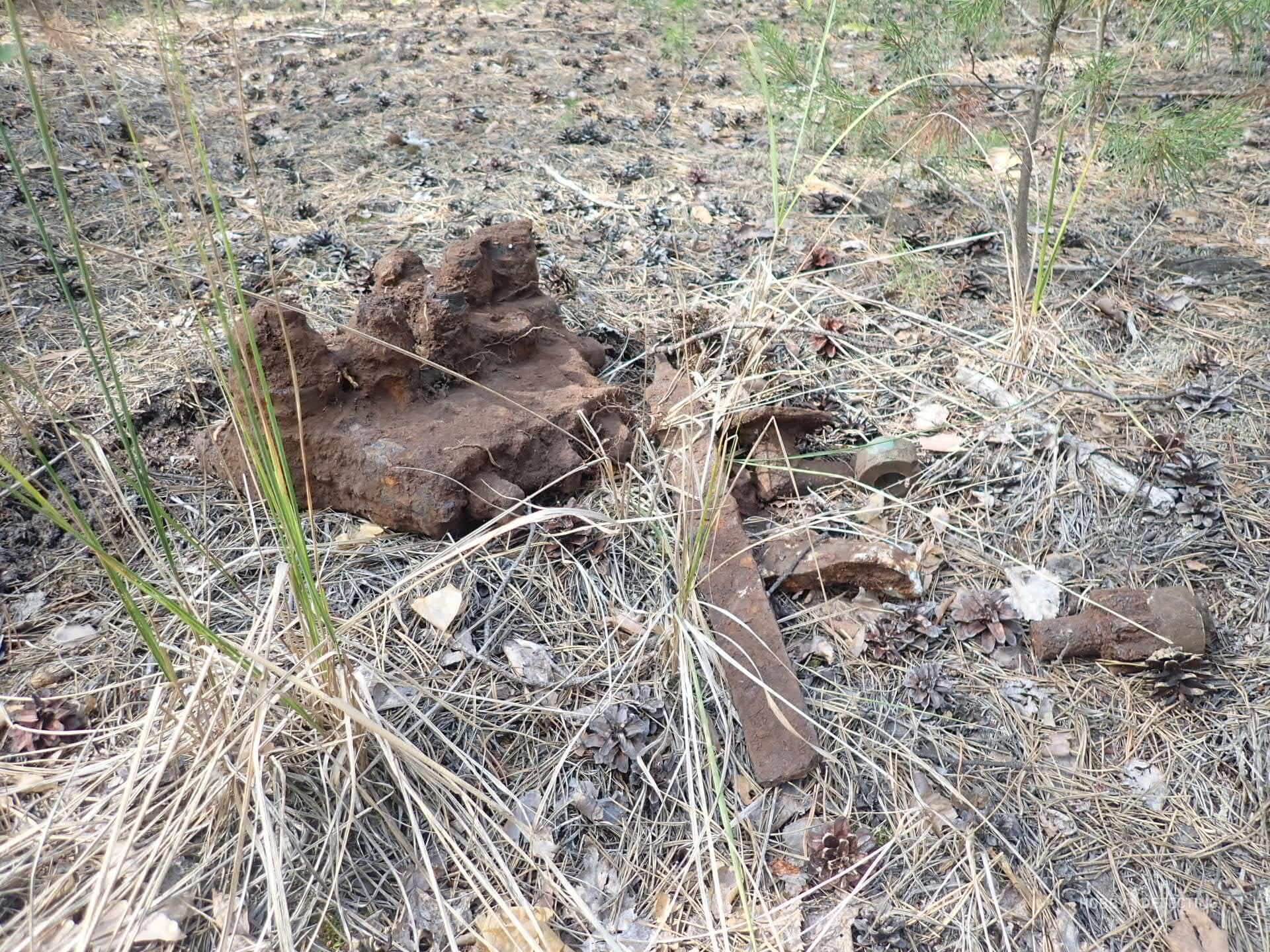
And then I started talking about the fact that lately I have been digging more for scrap metal than for coins. My interlocutor, in an outburst of kindness, decided to tell me a couple of places where he had seen large and very valuable iron while looking for coins. Plows, tracks and whatnot.
Out of such joy, I quickly took out my smartphone, opened the Yandex satellite and asked the comrade to show on the map exactly where he saw the scrap metal? And then there was a hitch. It turned out that my interlocutor had absolutely no bearings on satellite maps. At first I thought he was joking, but I quickly realized that he was not.
To which, I had a completely reasonable question. “Oh, how do you look for places where you can dig for coins?”

It turned out that he has two proven methods. The first is to simply drive along the road in one direction and along the way examine all the interesting places, for example, plowed fields or hillocks near a forest. The second method is to ask the locals. And then the route looks something like this.
You will leave the village at the transformer booth, further along the dirt road along the planting, at the broken birch tree you will turn left, there are two kilometers to the cross where the tractor driver turned over and died, then look to the side and you will see a bush, behind the bush there will be a ditch, you need to continue driving along the ditch three kilometers and then look for the place where the village stood.
Common situation? You can find the tract using these instructions. I'm definitely not. There was an experience: once a tractor driver in the field suggested the place where his partner found three copper coins while he was repairing the seeder. So, following those instructions, I searched for the required field for more than a month. I went out searching four times, and found it on the fifth, and that was more on the principle of probability theory.

So, this case could have been overlooked if it had been an isolated incident. So, I decided to ask you, dear readers, how do you look for new places to cop? And how often do you use satellite maps to determine your location?
PS I remembered a story here: about ten years ago we went mushroom picking at a friend’s dacha. We found a great place and cut it so that we had to carry some of the mushrooms out in stockings from the OZK. Naturally, how can you not share such success with your neighbors? And immediately the questions began: where is such a place, and tell me how to find it, and are there many more mushrooms there??? My friend took a tablet out of the car and tried to explain to his neighbor, a military pensioner, where the mushrooms were. Comrade Colonel peered at the satellite map for a long time and after a short pause honestly said that he didn’t understand a damn thing. “Now, if you showed me a topographic map???” No sooner said than done. A friend, opened a map of the General Staff 500 m, and showed the point. Again a pause on the part of the pensioner, then a careless phrase: “Yes, you’re showing me the wrong cards, we had others, and these are civilians, I don’t understand them.”